Ph.D. Candidate: Ali Gökalp Peker
Program: Information Systems
Date: 26.01.2023 / 14:30
Place: A-108
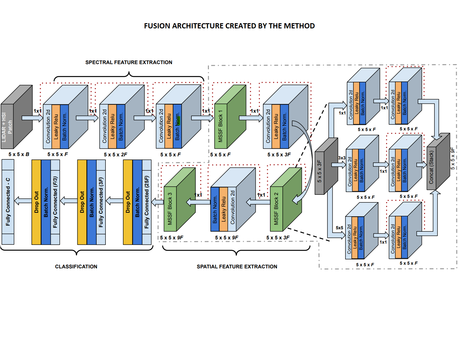
Abstract: Remote sensing methodologies are applied to different types of sensor data to classify terrain and land cover automatically. Although using a single sensor source typically produces satisfactory results, improving the precision of classification and reducing false positives is desirable. Fusing multiple sensor data often improves classification results compared to the results of single sensor data. The fusion of three-dimensional information in LiDAR with electromagnetic spectrum information in Hyperspectral data may provide more precise and robust classification results. In this thesis, the main goal will be finding new fusion methods for using LiDAR and Hyperspectral data for terrain classification in a more effective and efficient manner.
